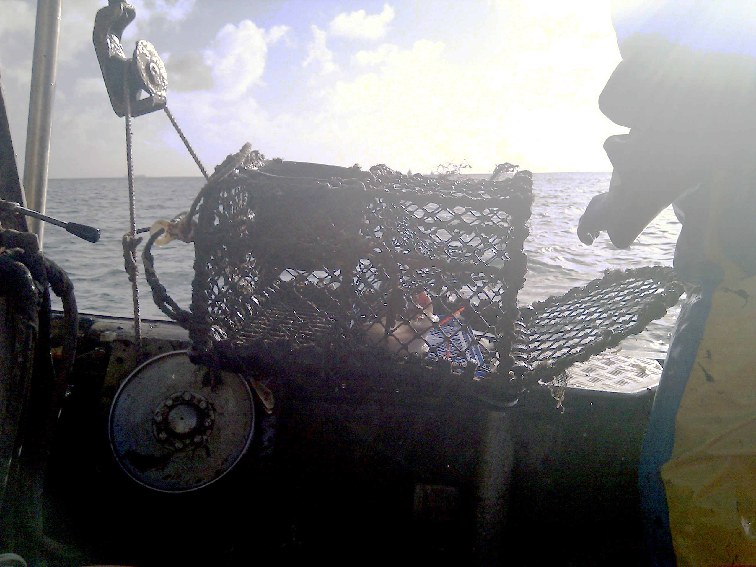
Yesterday was the first test of the full DORIS marine mapping system I’m developing with Amber Teacher and David Hodgson at Exeter University. We went out on a fishing boat from Mylor harbour for a 5 hour trip along the Cornish coast. It’s a quiet season for lobsters at the moment, so this was an opportunity to practice the sampling without too much pressure. Researcher Charlie Ellis was working with Hannah Knott, who work with the National Lobster Hatchery and need to take photos of hundreds of lobsters and combine them with samples of their genetic material.
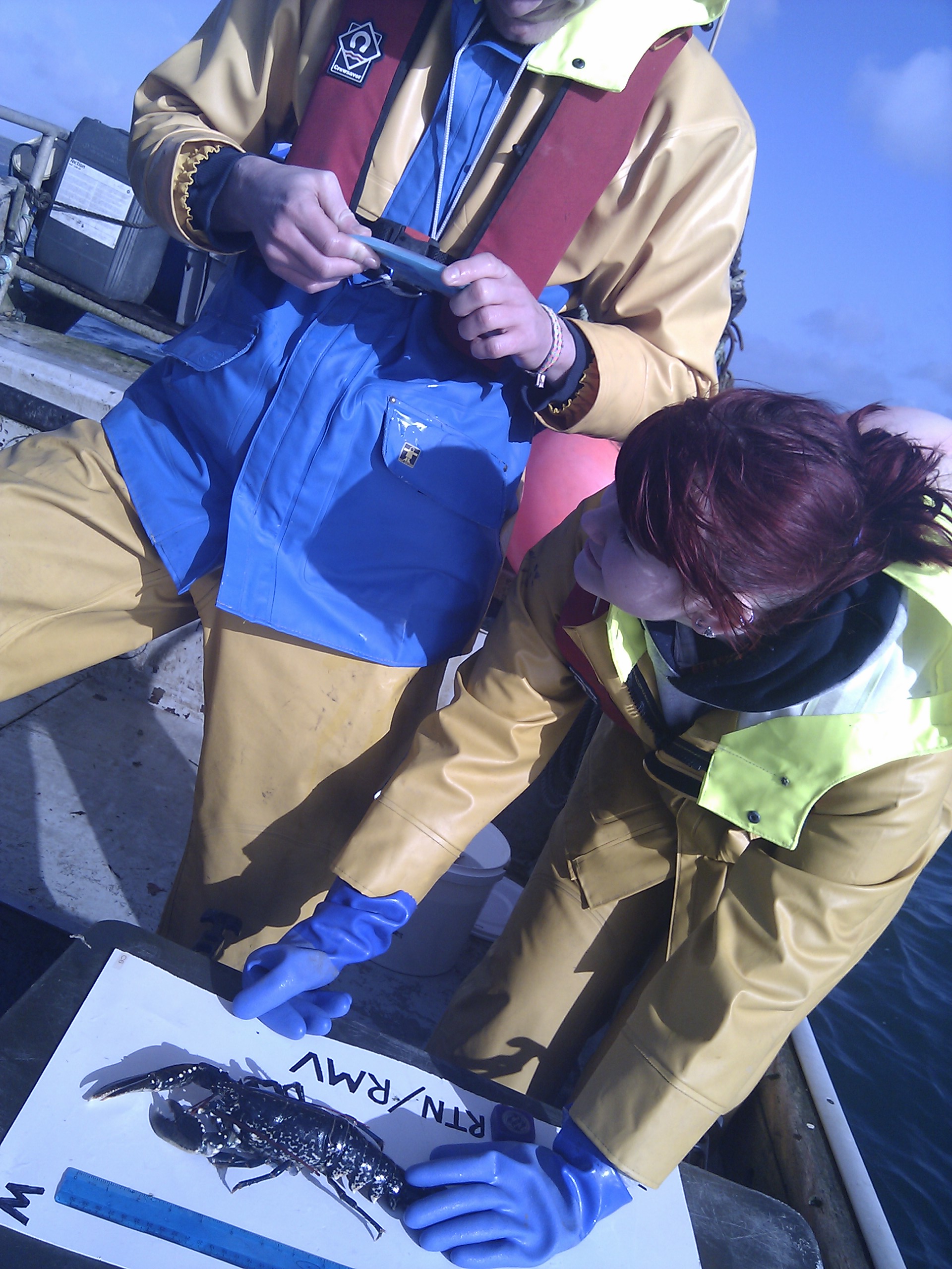
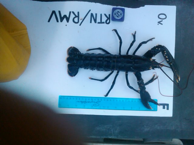
By going out on the boats they get accurate GPS positioning in order to determine detailed population structures, and can sample lobsters that are small or with eggs and need to be returned to the sea as well as the ones the fishermen take back to shore to be sold. Each photograph consists of a cunning visual information system of positioning objects to indicate sex, whether they are for return or removal and a ruler for scale.
Leave a Reply